A big part of why I love hiking is that it gets me more connected with nature and less connected with technology. Sometimes, though, technology can enhance the outdoors experience rather than detract from it. So as long as I’m using apps that add value to my experience, I’ll give them a pass. In this post, I’ve put together my favorite hiking and outdoors apps that help me do things safer, enhance my knowledge, and make it easier to get out there.
AllTrails
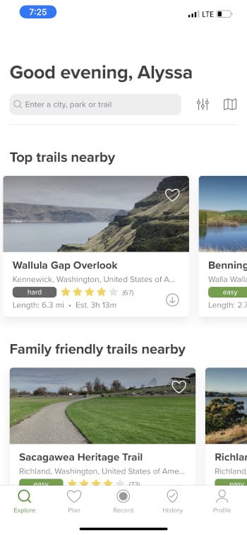
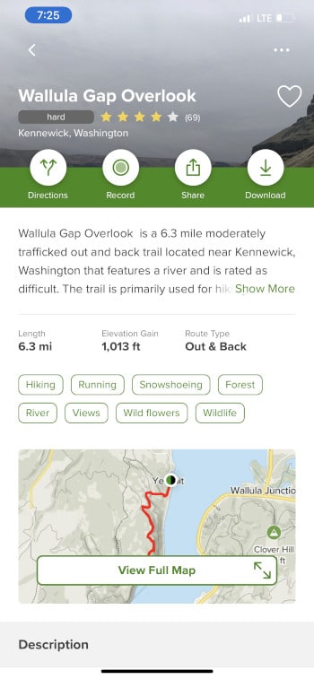
When you're looking for a new hike near you, AllTrails is the way to go. There are tons of hikes in its database and each one has details on difficulty, length, elevation, and more. You can filter for the types of trails you’re looking for, or use the map function to find the trails closest to you. It’s free to download, but the premium version (AllTrails Pro, $2.50 per month billed annually at $29.99) allows you to download maps for offline use and see your GPS location while hiking (as well as track hikes). Overall it’s a great app for discovering and hiking local trails.
REI Hiking Project
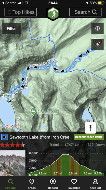
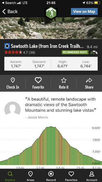
Hiking Project is a lot like AllTrails, but slightly more community-focused. You can still filter for all types of trails and find hikes near you. It has less overall trails than AllTrails (though it has ones that Alltrails doesn’t), but it gives more freedom to local hikers to post new trails and easily share info on trail conditions. I also think it’s map sets are generally more useful than the ones on AllTrails. The maps are more detailed and you can easily see from the map overview where your hike links up with other maintained trails in the area. This allows for more flexibility when planning your own route.
Strava
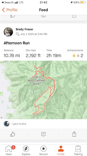
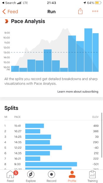
Strava is one of my most-used apps. It has maps available, but it’s most useful as an activity tracker. I use it to track runs and hikes and get detailed data like elevation gain and loss, per-mile pace, split times, and more. It’s also great for sharing your runs or hikes with your network, and you can see where and when others are doing various activities around you.
Guthook Guides
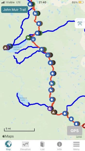
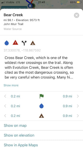
Guthook Guides isn’t as useful for local hikes, but it’s like having a detailed guidebook in your pocket when it comes to well-known thru hikes. It has over 30 long-distance hikes available for purchase (including the Pacific Crest Trail, Appalachian Trail, and many shorter thru-hikes,) and offers detailed maps, points of interest (viewpoints, water sources, town stops, etc.), and a comment section so users can post updates on trail conditions. I’ve used it on the John Muir Trail and sections of both the PCT and Pacific Northwest Trail, and there is no better companion app than Guthook.
OnX
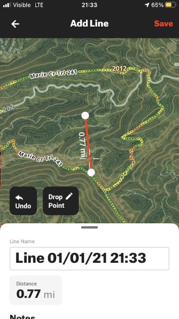
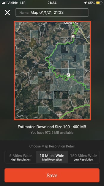
OnX is an app designed for hunters to be able to see landowner boundaries on a map, but this makes it great for adventurous hikers as well. OnX is relatively expensive ($29.99 per year for one U.S. state or $99.99 per year for the entire U.S.) but it offers tons of useful tools. Point-to-point distance measurement, trail lengths by segment, waypoint tagging and sharing, GPS functionality, and offline maps make OnX an awesome app for planning complicated routes. It also has satellite imagery in addition to base topo maps (and a new 3D Map function!).
Gaia GPS
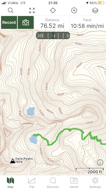
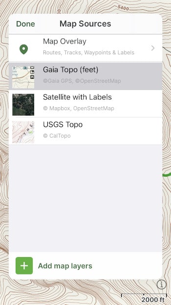
Gaia isn’t as good as Alltrails or Hiking Project for finding new hikes (though it can help you there as well), but it’s my favorite app for downloading detailed topo maps. The basic version is $9.99 per year and allows you to track hikes, download offline maps, and plan routes (with distance measurements). It also allows you to choose from a variety of mapsets (USGS Topo, Satellite, Gaia Topo, etc.). The Premium version ($39.99 per year) offers even more functionality, including customizing maps with specialty data and the full catalog of maps offered from Gaia. I've used their maps just about everywhere, including my Wind River High Route trip and our Paria Canyon/Buckskin Gulch trip, and I consider it one of my most useful tools.
Seek by iNaturalist
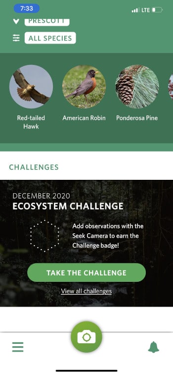
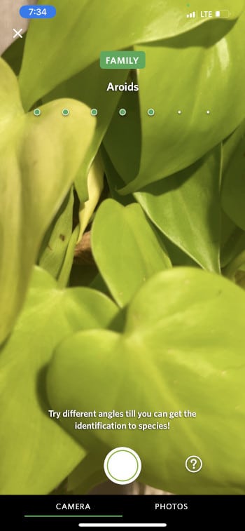
Seek is an awesome app for understanding the scenery around you. It uses image recognition technology to help you identify plants, animals, and fungi using just your phone camera. You can also share your observations with the global community, and see what species others have observed in your area. In the new app interface, you can also earn badges by identifying new species in an area or participating in local challenges. I love it for identifying new plants or mushrooms when I go on local hikes.
Peak Visor
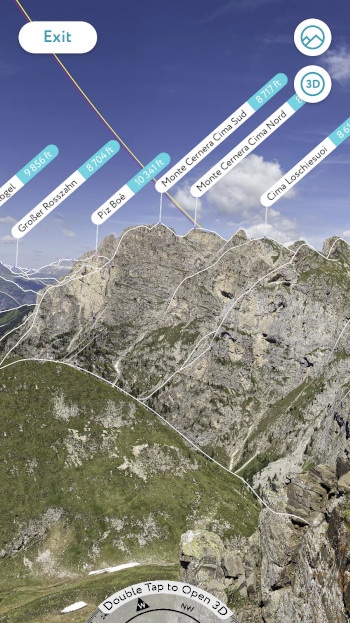
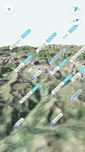
Peak Visor is another app that uses image recognition, but this one is for peaks. You can snap a photo of a peak or ridgeline in the distance and get precise data on what it’s called, where it is, and often how to get there. It has advanced 3D map technology to help you get the full lay of the land, and the Pro version ($2.99 per month) allows you to have all of this functionality offline as well. I don't find myself using it all that often, but it's one of those apps that's super valuable when I find my curiosity piqued by an epic mountain in the distance.
First Aid by American Red Cross
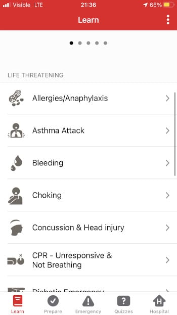

While not a perfect substitue for real first aid training, this app can be useful for understanding what to do in emergency situations. It’s well organized and includes a vast array of scenarios, including cuts, sprains, allergic reactions, and even diabetic emergencies. Hopefully you never need it, but it could be the difference between life and death if you do.
